Add your promotional text...
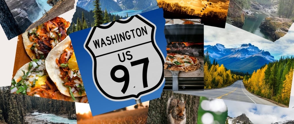
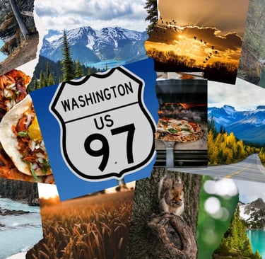
Driving Highway 97 in Washington: My Top-to-Bottom Journey
Highway 97 runs straight through the center of Washington, from the Canadian border down to the Oregon line. It’s one of my favorite north-to-south drives because it feels like a sampler platter of the state—lakes, orchards, mountains, valleys, and desert all in one line of road. I never drive it without finding a new overlook, a fruit stand I haven’t tried, or a reason to linger a little longer.
WASHINGTON TRAVEL
Get Outside and Play USA
5/5/20254 min read
Oroville → Omak (45 miles) – Border to River Valley
The trip begins in Oroville, just south of the Canadian line. Osoyoos Lake Veterans Memorial Park makes the perfect first stop—an easy swim beach, shady picnic area, and peaceful RV sites along the water.
Heading south, the highway winds through Tonasket before reaching Omak, a friendly town with a proud cowboy soul. If you visit in August, don’t miss the Omak Stampede & Suicide Race—a century-old local tradition unlike anything else.
Directions: Follow US-97 south directly along the Okanogan River—one of the most scenic valley stretches in the state.
Camping: Osoyoos Lake State Park (Oroville) or Omak Eastside Park.
Local Eats: Rancho Chico Mexican Restaurant in Omak for a post-drive meal.
Photo Tip: Early morning mist over the Okanogan River makes for dreamy reflections.
Omak → Chelan (60 miles) – Orchards and Lake Life
This stretch of 97 is summer perfection. Orchards line the highway, and roadside fruit stands tempt you at every curve—fresh cherries, crisp apples, and ripe pears.
Then comes Lake Chelan, one of Washington’s true natural treasures. I’ve stayed at both Lake Chelan State Park and Lakeshore RV Park in town—each right on the water. From kayaking and paddleboarding to catching the Lady of the Lake ferry to Stehekin, this stop always turns into a mini vacation.
Directions: US-97 south from Omak → Brewster → Pateros → merge with 97A to Chelan.
Camping: Lake Chelan State Park & Lakeshore RV Park.
Local Eats: Local Myth Pizza or Lakeview Drive-In for burgers with a view.
Photo Tip: Sunset across the lake—shoot west from Lakeshore Park for mirrored colors.
Chelan → Wenatchee (40 miles) – The Apple Capital Drive
Leaving Chelan, the road hugs the Columbia River through Entiat and Rock Island before reaching Wenatchee, Washington’s apple heartland.
Wenatchee Confluence State Park sits where the Wenatchee and Columbia Rivers meet—lush, green, and ideal for a mid-journey break. The Apple Capital Recreation Loop Trail is great for a walk or bike ride.
Directions: Take US-97A south along the river for the prettiest views.
Camping: Wenatchee Confluence State Park (RV hookups, showers).
Local Eats: Pybus Public Market—coffee, crepes, and local wines all under one roof.
Photo Tip: Sunrise light reflecting on orchard rows near Entiat is golden magic.
Wenatchee → Yakima (120 miles) – Wine, Hops & Sunshine
Follow US-97 south toward Ellensburg, then climb over Blewett Pass (4,100 ft). Pines give way to sagebrush as you drop into the Yakima Valley—Washington’s fruit and wine basket.
Stops to love:
Whistlin’ Jack Lodge on the Naches River for coffee or pie.
Tieton Cider Works for a local pour.
Yakima Sportsman State Park for shady camping near the river.
Directions: US-97 → Blewett Pass → US-12 → Yakima via Naches.
Local Eats: Cowiche Canyon Kitchen (downtown Yakima) or fruit stands off US-12 for cherries.
Photo Tip: Golden hour over vineyards—shoot south toward Mount Adams for dramatic backdrops.
Yakima → Goldendale (115 miles) – History and Horizon
Past Toppenish, the highway rolls through open plains dotted with windmills and hop barns.
In Goldendale, the Goldendale Observatory State Park offers stargazing sessions under crystal-clear skies. Just west, don’t miss the Maryhill Museum of Art and the full-scale Stonehenge WWI Memorial, perched high above the Columbia River.
Directions: Follow US-97 south through Toppenish, Satus Pass, and Klickitat County to Goldendale.
Camping: Maryhill State Park—riverfront, shaded, and peaceful.
Local Eats: Simcoe Café in Goldendale; Maryhill Winery patio for sunset sips.
Photo Tip: Late afternoon from Stonehenge—Mount Hood glows in the distance.
Goldendale → Oregon Border (25 miles) – Journey’s End
Highway 97 crosses the Columbia River via the Sam Hill Memorial Bridge, connecting Washington’s high desert with Oregon’s rolling hills. Take one last look north—sun, wind, and endless sky—and you’ll understand why I keep coming back.
Photo Tip: Dawn or dusk on the Columbia—soft light, calm water, and the perfect farewell shot.
This post may contain affiliate links, including links from Amazon, Walmart, and other affiliate partners. This means that if you click on a link and make a purchase, I may earn a small commission at no additional cost to you. As an Amazon Associate, I earn from qualifying purchases. I only recommend products I genuinely believe add value to outdoor adventures.
My Tips for Driving Highway 97 in Washington
Plan your fuel & food stops: Distances can stretch between towns.
Bring a cooler: You’ll want to haul home cherries, peaches, and cider.
RV-friendly: Nearly every major stop—Chelan, Wenatchee, Yakima, Maryhill—has great campgrounds.
Pace yourself: This isn’t a race; it’s a road meant to be savored.
Final Thoughts
Driving Highway 97 always reminds me how varied Washington truly is. From Okanogan’s green valleys to Chelan’s blue waters, through Yakima’s vineyards and Goldendale’s golden hills, this route feels like several adventures rolled into one.
Every trip leaves me with a camera full of photos, a cooler packed with fruit, and the quiet joy of having seen Washington’s heartland up close. If you want to experience the state from top to bottom, Highway 97 is the road to take.
Road Trip Essentials (Must-Haves)
Car phone mount (dash or vent style)
Travel snacks & snack organizers
Offline maps or road atlas
Travel pillow (neck or lumbar)
Packing For Your Road Trip
Road Trips With Kids – Fun + Sanity Savers
Activity books (stickers, coloring, puzzles)
Travel games (magnetic or card games)
Road Trips With Pups – Safe & Comfortable Travel
Optional Comfort Upgrades
Cooling towels (summer trips)
Heated travel blanket (winter trips)
Connect
Join our community
Contact
info@getoutsideandplayusa.com
© 2025. All rights reserved.